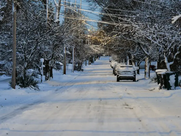
A strong winter storm warning is in effect for Michigan’s Upper Peninsula, where snow and wind will be hazardous for travel up until midday Tuesday. The National Weather Service (NWS) put out the warning early Monday morning and advised people in Keweenaw, Ontonagon, Houghton, and Gogebic counties to get ready for heavy snow and harsh conditions.
The warning is in effect from 8 p.m. EDT Monday until 11 a.m. Tuesday. According to the NWS, the storm will bring total snow accumulations ranging from 2 to 9 inches. The heaviest snowfall is expected from Painesdale southward in the Keweenaw Peninsula and in the interior regions of Ontonagon and northwest Gogebic counties.
Along with snow, wind gusts may be as high as 40 mph. These high winds will cause periods of blowing snow, lowering visibility and creating hazardous travel conditions.
Hazardous Roads and Reduced Visibility Predicted
Travel conditions are likely to get progressively worse Monday evening into Tuesday morning. The NWS has issued the warning that Tuesday morning can be very hazardous. It is estimated that blowing snow could severely lower visibility. And it could be in the region of countryside and open roads.
Motorists are warned to exercise extreme caution. The NWS stated that if anybody wants to travel, have an additional flashlight, food, and water in your vehicle as a backup in case of an emergency. Motorists should also be on the lookout for slippery patches and blowing snow.
Also read: 6 People with NCAA Woman of the Year dies in Massachusetts Plane Crash
Power Outages Possible Due to High Winds
Gusty winds can cause branches to break and power outages. People in the area should be ready. It’s a good idea to charge batteries, stock up on emergency supplies, and keep an eye on local reports in case services are disrupted.
Local emergency crews and utility companies are already on standby. Response teams are ready to go in the event of fallen power lines or road obstructions.
Communities Prepare for Mid-April Winter Storm
While spring has already arrived in many places, Michigan’s Upper Peninsula tends to get snow through April. Nevertheless, a storm of this size is not typical for mid-month. People in the counties affected are taking precautions, with many staying indoors and refraining from traveling unnecessarily.
Schools and businesses in the area can also anticipate delays or closure based on the severity of the storm.
Preparation Is Key
Residents are being urged to prepare in advance. Monitor forecasts, plan trips wisely, and stock non-perishable food, water, batteries, and blankets. Medical people with needs should also plan for power-dependent equipment.
Outdoor plans must be postponed. Refrain from unnecessary driving. If you must go out, make your car winter-weathered and emergency kits easily accessible.
Looking Ahead
While the snow will diminish by Tuesday morning, recovery and cleanup are likely to be a slower process. Plows will be in operation overnight, clearing roads, and utility repair crews will take care of outages.
Homeowners are encouraged to stay home, stay warm, and get information from local news sources and emergency services.
The winter storm may be short-lived, but its effect could be far-reaching. Stay safe, stay ready, and let the plows clear the way.


