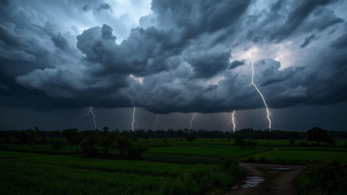
Large areas of the United States have experienced tough conditions of thunderstorms, tornadoes, and flooding because of a serious and lasting weather system. By early June 2025, close to 90 million people will face serious weather risks across several states because the storms keep developing. The storm has mainly targeted the Interstate 40 area, with the biggest impacts in Texas, Oklahoma, and Arkansas. National Weather Service and local emergency teams are still prepared since severe weather may last into the weekend and into next week.
New storms appear daily in the afternoon and evening and sometimes continue into the night, putting people in the area face danger continuously. The Gulf of Mexico’s warm and damp air is providing extra fuel, so the storms grow quickly and have been extremely damaging, with strong winds, big hail, and lightning.
Tornadoes Touch Down in Multiple States
The weather event stands out because tornadoes have been reported more often in the Southern Plains. The area kept being warned about tornadoes all week, and a number of places had experienced heavy storms before. Wednesday night, a supercell tornado in Lubbock, Texas, brought on flash floods, hail, and a lot of wind damage. There was a Tornado Watch for the city until late on Friday, which affected more than four million people in the region.
At least 50 structures were damaged in Van Buren after a tornado developed during a severe thunderstorm last Friday. The city of Fort Smith just went through a storm, and a tornado warning was issued at the time as cameras picked up the twister passing over the town during rush hour. Vian’s emergency rooms noted that some structures were damaged and several roads were blocked due to a tornado in the county.
Also read: National Weather Service Outage Delays Severe Weather Alerts Across U.S.
Flash Flooding Adds to the Hazards
Heavy rain, in addition to tornadoes, has led to flooding in various states. After the Thursday storm, Lubbock had flash flooding that left roads underwater and left drivers stuck. At least one inch per hour of rain fell in certain parts of Ada, Oklahoma, on Friday morning, creating flooding. Many forecasts predicted that storms would keep occurring over the same regions, which would result in significant accumulation of rainwater and the risk of overloading drainage systems.
There might be as much as three to five inches of rain in particular areas before the weekend is over. The flood danger rises since the ground is already wet and streams are overflowing, so even average rainfall might lead to more flooding in the coming days. Emergency teams in the affected counties are monitoring the weather and are telling residents not to visit low-lying parts and to travel only when required.
Emergency Response and Power Disruptions
The length of the storms is leading to more power outages and greater damage to buildings and homes. Local police said fallen trees in outdoor areas block both roads and caused issues with the power supply in Luther. Because of the damaged homes and debris made out of twisted metal, residents in Van Buren and Vian have lost both power and shelter. Local fire brigades and state emergency agencies are active in the region to look for damage and participate in recovery operations.
In lots of towns, people are seeking refuge in community centers, schools, or basements because the strong gusts and hail may harm buildings outside. The force of wind on saturated ground has caused trees to fall, which endangers both those on the roads and the owners of homes.
Also read: Euston Fire northwest of Redmond Burns 35 Acres, Triggers Evacuation Alerts
Forecast Into the Weekend
Meteorologists warn that the severe weather is far from over. Forecast models indicate that the system will continue pushing eastward through the weekend, with severe storm potential expanding into the Deep South, including parts of Mississippi, Alabama, and Georgia. The mixture of tropical moisture and daytime heating is expected to maintain high rain rates, while instability in the atmosphere will keep the tornado risk elevated.


